HRT2341 – SURVEYING APPLICATION
2023-2024 Academic Year Surveying Application Directive
HRT3012 - FIELD WORK
FIELD STUDY IMPLEMENTATION DIRECTIVE-2023
HRT4372 - Engineering Surveying Application
Engineering Surveying Application Directive (2021-2022 Spring Semester)
Fixed point coordinates and elevations (Rev.2017)
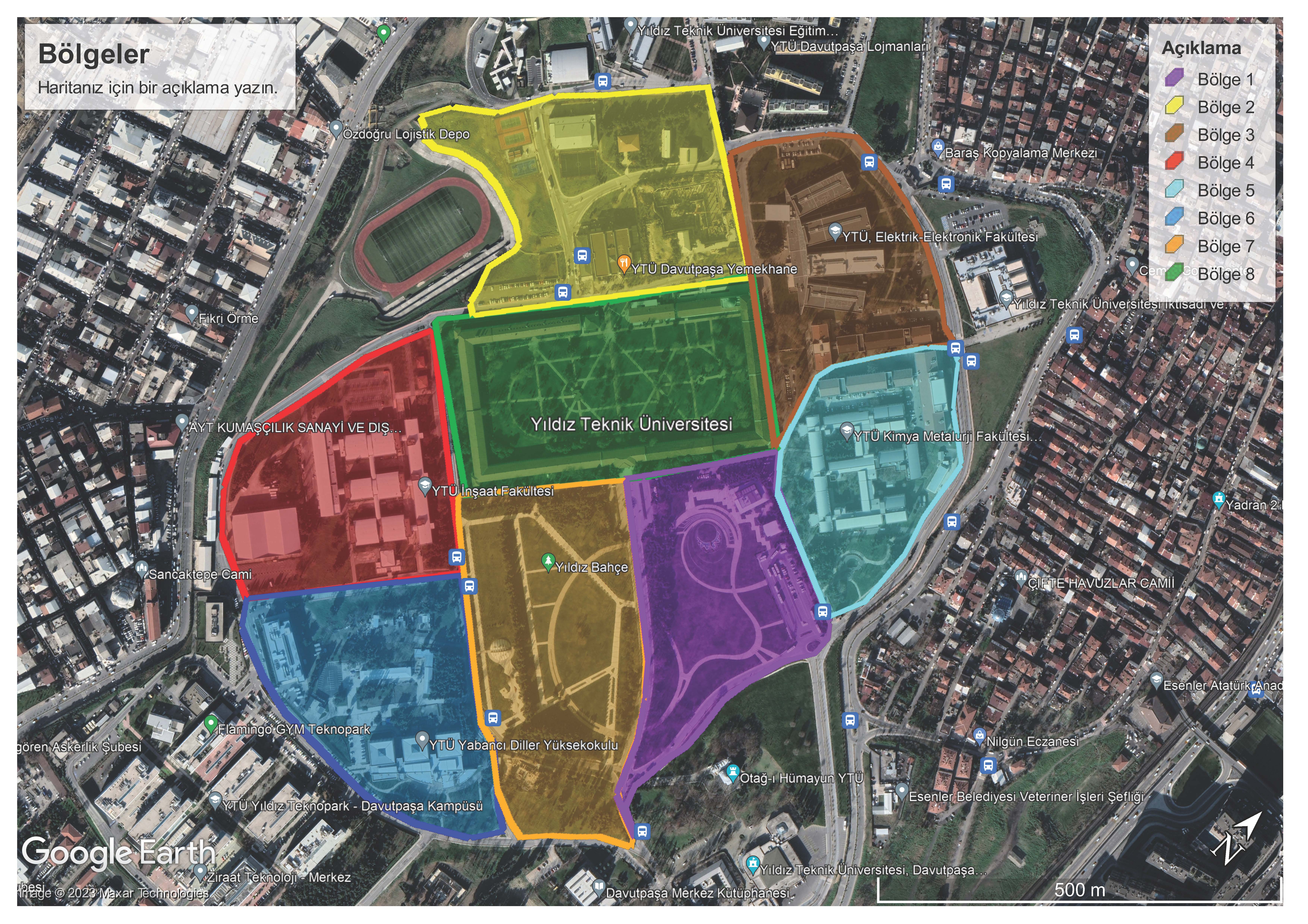
Fixed points on campus (Google Earth Rev.2017)
Davutpaşa Campus benchmarks coordinates (Rev.2017)
Leveling point elevations and fixed point coordinates (Rev.2015)
Triangulation (Nirengi) and leveling (Nivelman) points on campus (Rev.2012)
Required Charts
Benchmark Chart
Sample Benchmark Chart
Measurement Sketch
Sample Measurement Sketch
Field Book for Simple Angle Measurement
Field Book for Distance Measurement
Field Book for Horizontal Angle
Field Book for Vertical Angle
Field Book for Leveling Measurement
Field Book for Traverse Computation
Field Book for Detail Acquisition
YLDZ REFERENCE STATION
Station Coordinates (ITRF96, 2005.0)
X: 4219315.3121 m vx: -0.0179 m/yıl
Y:2328105.5443 m vy: 0.0151 m/yıl
Z:4164453.7420 m vz: 0.0083 m/yıl
Antenna Brand/Model: AERAT1675_120 SPKE
Receiver Brand/Model: ASHTECH PF800
RTK
IP: 193.255.118.232
Single Base
Correction:RTCM
RTK password must be obtained from the relevant Instructor.